Corporate Office | 502.585.2222 | 800.928.2222
FacebookLinkedInXInstagramYouTube
Qk4, Inc. Logo Qk4, Inc. Logo Qk4, Inc. Logo
  • Home
  • About Us
  • Services
  • Projects
  • Our People
  • Office Locations
  • News and Events
  • Join Our TeamNEW 02/2025
  • Home
  • About Us
  • Services
  • Projects
  • Our People
  • Office Locations
  • News and Events
  • Join Our TeamNEW 02/2025
Surveying Servicesladams2024-10-23T14:50:42-04:00

Surveying Services

“Qk4 is doing a heck of a job. I’m glad we have you guys on this project.”

Former Mayor Dick Heaton
City of Bardstown, KY

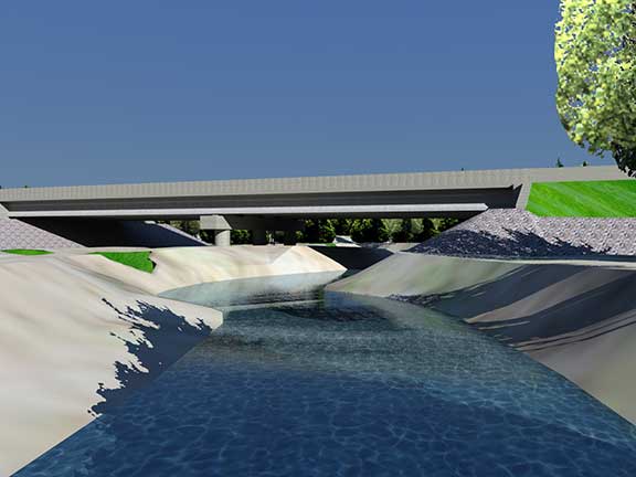
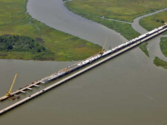
Land surveying practices have drastically evolved in recent decades. The speed and accuracy at which field survey data is collected has increased productivity and efficiency, but often that field data is compiled the same way as it was a hundred years ago, onto a paper survey plat. Now, digital media and three dimensional digital survey files give us the platform to analyze, compile, and deliver field survey data in a more accurate and understandable format. Our goal is to provide our clients with a more useable product that they can rely on.

We are committed to utilizing new survey technology to gather information in ways that will increase production, improve precision and enhance presentation of our surveys. Advances in GIS reference data, 3D terrestrial laser scanning, ground penetrating radar, and LiDAR mapping have given our land surveyors opportunities to collect usable data faster, more precise and at a greater volume than ever before.

View Additional Projects
View Additional Services
  • Transportation Engineering
  • Structural Engineering
  • Traffic Services
  • Planning & Environmental
  • Construction Engineering Inspection
  • Surveying Services
  • Water & Wastewater Engineering
  • Site Engineering & Development
  • Land Acquisition
  • Native American Services

Explore the vital role of Qk4’s Survey Department in transforming infrastructure. This deep dive reveals how our team leverages cutting-edge technology and expertise to deliver accurate, reliable data that drives project success. Watch now to see how we lead the way in precision surveying. For more insights, visit www.qk4.com to learn how Qk4 can support your next project.

  • BOUNDARY SURVEY

  • RIGHT OF WAY STAKING

  • DRONE MAPPING

  • DIGITAL TERRAIN MODEL SURVEY

  • SUBSURFACE UTILITY ENGINEERING

  • BOUNDARY SURVEY

We provide property boundary surveys for property conveyance situations that range from small lots to large acre boundary resolutions. We produce accurate boundary surveys through detailed research, accurate location of property evidence, and professional signed plats. Our survey department specializes in ALTA / ACSM Land Title Surveys for commercial or industrial property incorporating high definition topography, and project specific unmanned aerial vehicle mapping.

Contact:
Ben Shinabery, PLS

Email Ben
  • RIGHT OF WAY STAKING

It can be difficult for property owners or right-of-way agents to visualize proposed right-of-way lines across open terrain simply by looking at the plan sheets. Field staking these points allow project stakeholders to know exactly where proposed right-of-way and easement lines are located. Many times the physical location of the stakes give right-of-way agents the ability to help property owners come to fair and balanced decisions. We continue to advance our techniques and technology to be able to provide staking services more efficiently and cost effectively.

Contact:
Ben Shinabery, PLS

Email Ben
  • DRONE MAPPING

When considering a proposed site location to highlight for potential development, the most recent and most accurate information for the site needs to be available. The available color imagery does not always show recent construction, new roads, or updated utility connections. Many sites do not have accurate contour maps to allow for master plans or drainage analysis. It can be frustrating finding clear, accurate data to promote a site.

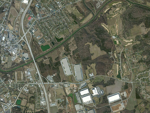
The accessible aerial data used by professionals today has been gathered by manned airplanes at high altitudes or by satellite imagery miles above the earth. The images provide a good idea of land use and coverage but are limited to the season of the year they were collected and the high altitude resolution of the airplane.

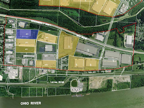
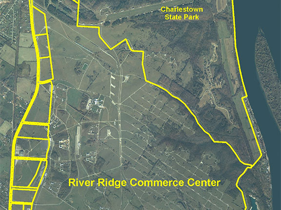
Qk4 now has the capability to provide both high resolution color aerial imagery quickly and efficiently at a resolution less than 1??? per pixel. These images then can be compiled to create a Digital Surface Model (DSM) of the ground, buildings, and roads. The information collected can be tailored to the specific season of the year or at particular intervals for monitoring construction phases throughout a project. You are no longer at the mercy of the previous aerial imagery online.

The Benefits of Drone Mapping
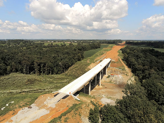
Qk4 has been surveying for decades with traditional survey equipment to create detailed survey topography files. Now with the addition of our aerial mapping eBee from senseFly, we can gather the same elevation data in a fraction of the time and a fraction of the cost. We can map over fields, roads, creeks and difficult terrain all within one flight plan. The aerial data collection provides a safe method of mapping congested sites or utility substations without physically being in harm???s way.Our eBee can map roads, dams, energy corridors, construction projects, and potential development sites with only a few clicks of the mouse. It is the perfect unmanned aerial mapping system for the price, convenience, quality, and software.

Contact:
Ben Shinabery, PLS

Email Ben
  • DIGITAL TERRAIN MODEL SURVEY

Topographic DTM are generally requested for design engineering improvements such as: site development, new roadway design, or for bridges and drainage. We locate all physical improvements including: edge of pavement and driveways, buildings, visible and marked utilities, drainage structures, also fences and other man-made features. The topography of the terrain is also surveyed to provide elevations along all of the natural features of the land. Both the physical improvements and the natural features are combined into one DTM file which is delivered with the 3D MicroStation DGN to the district engineers.

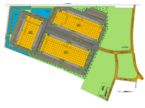
We work to locate all features that are needed to complete detailed and thorough Topographic DTM surveys to provide our clients with the highest quality of usable information from which to design.

Contact:
Ben Shinabery, PLS

Email Ben
  • SUBSURFACE UTILITY ENGINEERING

We have a full service Subsurface Utility Engineering (SUE) team with the knowledge and experience to find any underground utilities. The benefits of SUE for engineering projects have increased the demand for utility location. We have established utility contacts and trained field and office staff to handle any SUE project ranging from small service line locates to the largest of transmission mains. Each SUE project is handled with utmost care utilizing our pressurized air and vacuum excavation equipment to protect against utility breach. Every Quality Level A test hole is field located and verified before the information is compiled into a 3D CAD drawing and utility location spreadsheet.

Contact:
Ben Shinabery, PLS

Email Ben

Surveying Services Projects

ladams2023-11-15T10:41:48-05:00
Shelbyhurst Traffic Impact Study Jefferson County, Kentucky
ladams2023-11-15T11:44:43-05:00
University of Louisville Belknap Connector
University of Louisville Belknap Connector Jefferson County, Kentucky
ladams2023-03-15T14:47:09-04:00
Completed University of Louisville East Campus Gateway and Roundabout
University of Louisville East Campus Roundabout and Gateway Jefferson County, Kentucky
ladams2023-07-12T07:56:15-04:00
Construction Inspection Engineering
Construction Engineering Inspection Services Kentucky
ladams2023-07-12T07:59:41-04:00
Louisville Southern Indiana Ohio River Bridges
KYTC General Engineering Consulting Kentucky
ladams2023-03-15T15:41:06-04:00
The Parklands of Floyds Fork
Parklands of Floyds Fork Jefferson County, KY

We can help find the best solution for your project.

Contact Us Today

Office Locations

KENTUCKY | Louisville, Frankfort, Lexington, Somerset, Prestonsburg, & Owensboro
INDIANA | Southern Indiana
GEORGIA | Peachtree Corners & Marietta

Follow Us

News and Events

  • Stacia Slone 03/27/2023
  • Michael Hutchinson 03/06/2023
  • Randy Freeman 02/14/2023

Community Involvement

Qk4 is committed to giving back to our local communities throughout the year. A few of our employees had the honor of cooking breakfast and serving the residents of Louisville’s Ronald McDonald House.

community involvement
Copyright 2025, Qk4, Inc, All Rights Reserved